
Soaring through the Skies of History
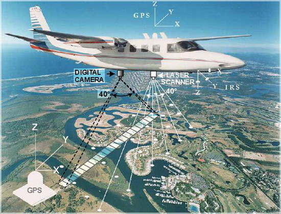
Picture this: a time before drones, when the skies were canvases for manned aircraft to capture the essence of landscapes, companies like Ramani Geosystems were pioneers; using planes as their artistic brushes to paint high-resolution images from above. Remote sensing from altitudes upwards of 20,000 feet “above mean terrain” ushered in an era of high-resolution aerial images, surpassing the capabilities of ground-based methods. These aerial mosaics not only captured visuals but unraveled geographical mysteries and elevations.

Traditional way of aerial surveying in 1917-1918 during World War 1
Challenges that Flew High:
Yet, the sky was not without its challenges. Manned aerial imaging required a meticulous dance on the ground – survey teams collecting ground control points (GCPS) with scientific precision. Stitching images together was an art form, requiring specific skills and machine-assisted alignment. The process was complex, demanding a keen eye to avoid misaligned images that could skew reality.
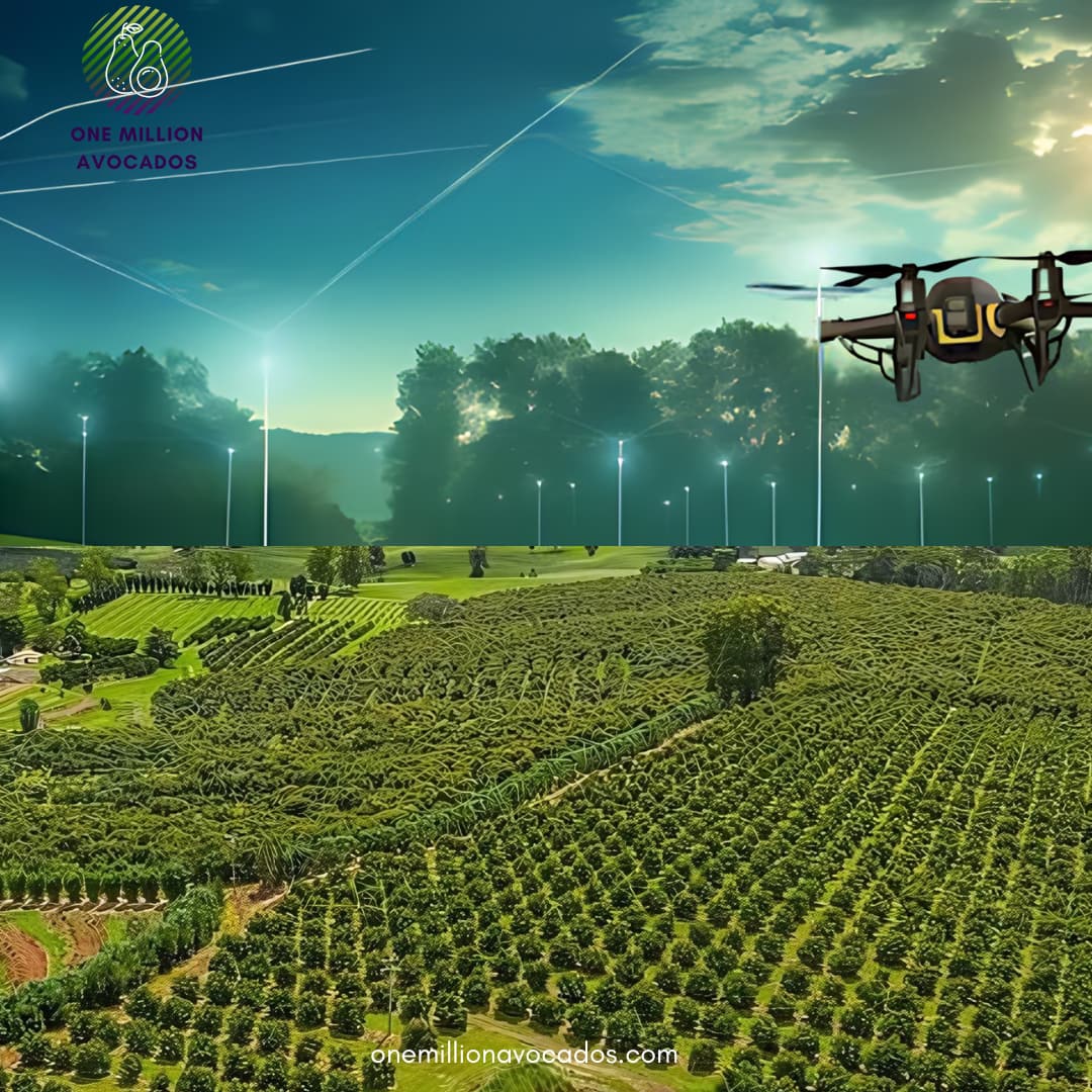
Drone’s Ascent
Enter the protagonist – the unmanned aerial vehicle, or drone. A revolution in the making, drones swept in with the promise of efficiency and cost-effectiveness. They weren’t just capturing images; they were becoming the artists, reconciling imagery within their own technological canvas.
Yet, managing drones wasn’t all smooth flight. Battery life became a critical act in this technological ballet. Unlike planes with calculable fuel consumption, drones demanded a careful choreography of energy use. Cue the fixed-wing drone, a game-changer in the agricultural landscape. Efficiently gliding through air pockets, these drones not only conserved energy but paved the way for a cost-effective aerial surveying revolution.
As the plot thickened, hybrid drones entered the stage, blending fixed-wing stability with quadcopter agility. The aerial saga became richer, offering more options for diverse agricultural needs. With the use of RTK GPS technology, capturing precise information became not just a task for experts but a skill accessible to a broader audience.
From Above to Beyond
Fast forward to today, and drones have become indispensable in agriculture. They are not mere observers; they are partners in farm management. Monitoring vast farmlands, providing real-time data on crop health and soil conditions – drones have become the trusted allies of farmers and agronomists.
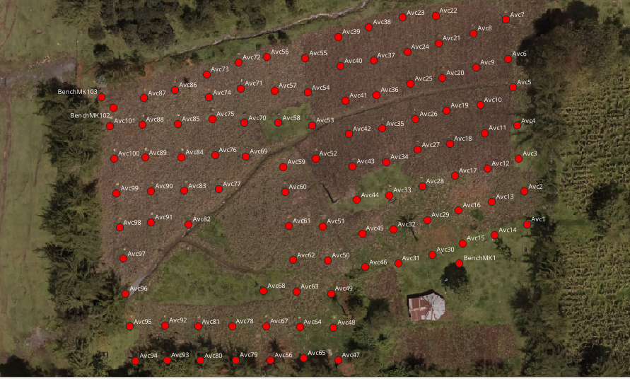
Avocado Orchard in one of our farms in Nakuru County

NDVI map identifying Crop Health Monitoring (Courtesy of Dimitra Technology)
But the story doesn’t end here. The future promises even more thrilling chapters. Imagine AI-powered analytics that transcend limits or autonomous drone fleets orchestrating a synchronized ballet in the skies. The dance between technology and agriculture is set to elevate, promising a greener, more efficient, and sustainable future for the farming sector.
Conclusion
The journey of drones in agriculture is not just a tale of technology; it’s a saga of empowerment. As drones become more accessible and their capabilities soar, they emerge as transformative tools in the hands of those who feed the world. Comment on your drone experiences in agriculture, as we unravel more chapters in the dynamic relationship – where every flight promises a new perspective on success.